Headlines
National Geographic, Mississippi Geographic Alliance Bring the Largest Map of Africa to Oxford
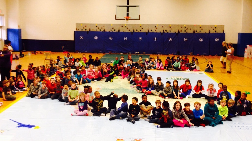
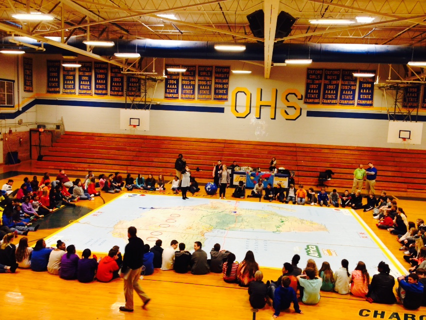
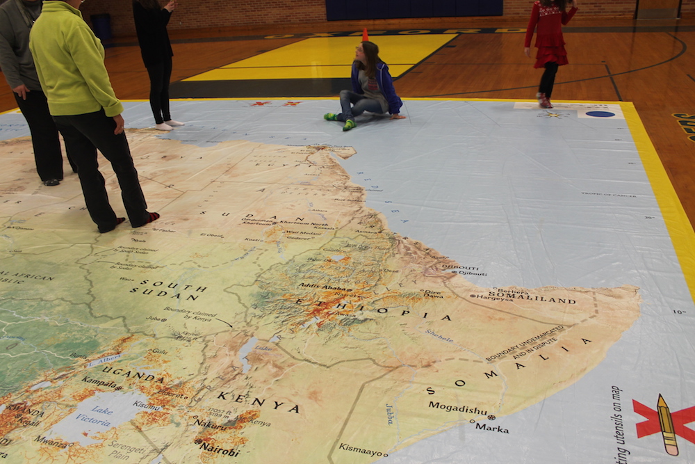
Dr. Ellen Foster is associate professor in teacher education at the School of Education at Ole Miss. and she is also affiliated with the Mississippi Geographic Alliance which brought the giant traveling map of Africa to Mississippi for the month of February. On Feb. 24 the map was on display at the Oxford Middle School in the gymnasium.
“The map started on the Gulf Coast the first of the month,” Foster said. “And it traveled north across the state. We have it here in Oxford for the last week of February. It was at Oxford Elementary on Monday, at the Middle School today, and we were supposed to be in Hernando on Wednesday, February 25th, but due to the weather that had to be cancelled, and we’ll be at Lafayette Upper and Lower Elementary on Thursday and Friday, weather permitting, of course.”
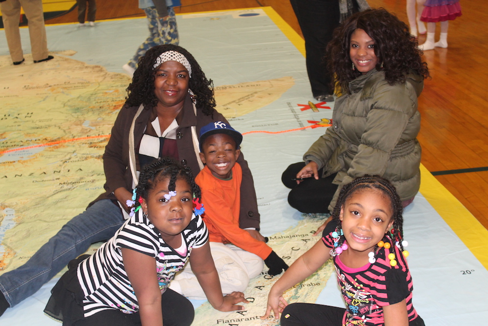
Foster said they see between 500 and 700 children on the map per day and do activities with students, from first and second-graders, Pre-K; even all the way up to high school, with the curriculum changing according to the grade level.
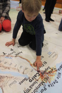 “All the students seem to like participating in Simon Says when they’re on the map,” she said, “which is a very fun activity to do. Anybody can rent the map for a week at a time. It’s about $500 and you do that through National Geographic. But when Mississippi Geographic Alliance rents it and it comes to your school; it comes with teacher consultants. So, we have some lovely ladies here from different schools throughout the state, who are teacher consultants with the MGA. They help facilitate the activities so that our teachers have some assistance when it comes to creating fun things for the students to do. The map comes with a list of activities, of course, but the teacher consultants are so helpful and valuable to the learning experience.”
Foster said the map gives students a spatial perspective of the continent featured that they might not see from a regular-sized map.
“They’re still looking at a two-dimensional map, but when you’re able to see things on a grander scale; it puts them into context perhaps a bit more,” Foster said. “It’s not like a geographical information system would be, layered with information, but we can layer data onto it, such as latitude and longitude markers that small children can understand better than pre-layered ones. We also layer data about animals of the particular country the map features. So, we can pull on and off different layers of information with the map and we have some physical feature layers that we can add about the lakes and the rift valley, so we can talk, depending on the group of children, about all kinds of things that pertain to the physical geography of the area.”
Foster said that the giant map of Africa is the fourth map that Oxford has had in the series of traveling maps. “Four years ago we had the giant map of Asia,” she said, “and they’re all 25×35 in size. We’ve had North America and South America and this year Africa. We’re not sure what next year’s map will be, but it will be great fun and educational.”
If your school would like to book the giant traveling map, visit the Mississippi Geographic Alliance website.
Angela Rogalski is a HottyToddy.com staff reporter and can be reached at angela.rogalski@hottytoddy.com.


